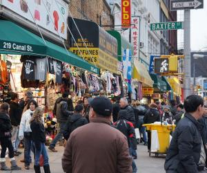
Canal Street

Canal Street is a major thoroughfare in the city of New Orleans, Louisiana. It
is the dividing line between the older French and Spanish Colonial era city and
the newer Central Business District.
The name of the avenue comes from a planned canal which was to connect the
Mississippi River to Lake Pontchartrain, but it was never constructed.
One end of Canal Street is at the Mississippi River. The other end is in
Mid-City at a collection of cemeteries.
Canal Street is often said to be the widest roadway in America to be given the
term street instead of a more prominent title of avenue or boulevard.
Location
Border between the French Quarter and Central Business District in New Orleans
New Orleans, Louisiana
Getting There
It is served by several public transportation options, including buses and
streetcars. The RTA (Regional Transit Authority) operates several bus lines that
run along Canal Street, including the 2-Riverfront, 11-Magazine, and 47-Canal
Cemeteries lines. The streetcar lines that run along Canal Street include the
Canal Streetcar, the City Park/Museum Streetcar, and the Cemeteries Transit.
Additionally, Canal Street serves as a major transfer point for many of the
RTA's other bus and streetcar lines, making it easily accessible from all parts
of the city.
Nearby Airports
This is a list of primary airports in Louisiana that have scheduled passenger service on commercial airlines.
undo Major Attractions in Louisiana